Scenic Drives

Roads worth the long way around

Byways along the Kootenai, across Montana's tallest bridge, and deep into the Yaak.

Interactive Map — Libby Scenic DrivesMap placeholder

Lake Koocanusa Scenic Byway (Highway 37)

67 miles · ~2 hrs one wayOpen year-round

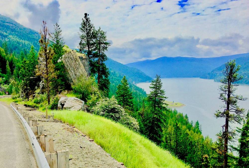
The headliner. Connects Libby and Eureka along the Kootenai River and the east shore of Lake Koocanusa. Designated a Montana Scenic Byway in 1992. Watch for the Ural-Tweed bighorn sheep herd along the road. Don't miss the Koocanusa Bridge — the longest and tallest bridge in Montana, rising about 215 feet above the water, crossing to the lake's quiet west side (side loop FDR 228, closed in winter). Stop at the Libby Dam Visitor Center on the way.
Kootenai River & the Falls (Highway 2 West)

~20 miles · ~30 minYear-round

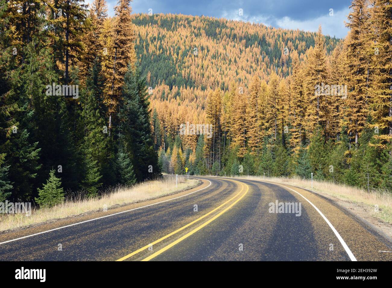
A short, scenic run west from Libby along the Kootenai River to Kootenai Falls and the Swinging Bridge, continuing toward the town of Troy.

Bull River to the Cedars (Highway 56)

~20 miles · ~40 minBest May–October

Turn south off Highway 2 just past the falls and wind through the Bull Lake / Bull River corridor between the Cabinet Mountains to the ancient Ross Creek Cedar Grove.

Yaak River Road (Highway 508)

~60 miles loopBest summer & early fall

A wild, remote drive up the Yaak River past Yaak Falls into the heavily forested Yaak Valley — moose, elk, and bear country. Truly backcountry: expect few or no services and little to no cell coverage. Fuel up and plan ahead.

Libby Dam Road

~17 miles round tripYear-round

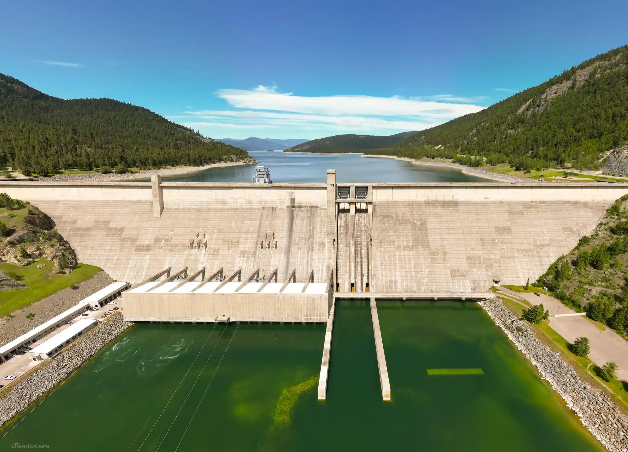
A quick scenic spur to the impressive Libby Dam and its overlooks. Easy add-on to any visit.